
Aerial Imaging & Geospatial Data Services
Aerial Imaging & Geospatial Data Services
Aerial Imaging & Geospatial Data Services
Aerial Imaging & Geospatial Data Services
Aerial Imaging & Geospatial Data Services
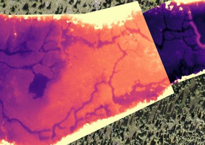
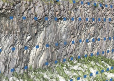
• High value imaging, mapping and modeling data products
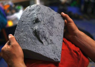
• Remote sensing teams specializing in self-sufficient wilderness projects

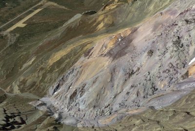
Remote Field Projects
Our self-contained small-footprint field teams of trained wilderness professionals get data where others cannot.

Nonprofits & Institutions
We work with a diverse range of stakeholders across the state of Alaska.

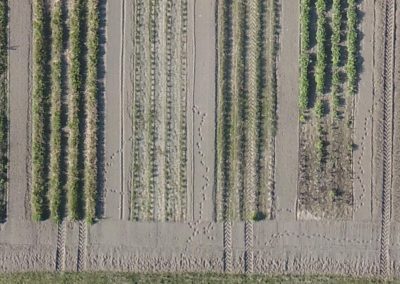
Construction & Industry
Our drone fleet reduces risk to workers while providing high-end products which maximize return-on-investment.

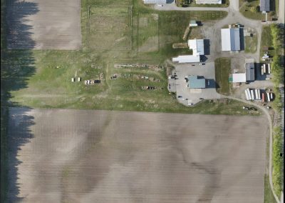
Real Estate & Property Insurance
Our video, imaging, and modeling products provide unparalleled visualization options.
14 CFR Part 107 licensed remote Pilots
fully insured
DUNS #116982058
Alaskan owned and operated
info@coraxuas.com
(907) 885-4764 | PO Box 1185 | Chickaloon, AK 99674